• Skip to primary navigation
  • Skip to main content
  • Skip to primary sidebar
  • Skip to footer
  • Board Meetings
  • Public Notices
  • Financial
  • Land Use Applications
  • OPRA
  • Keegan Landfill Info & Updates

New Jersey Sports and Exposition Authority

  • Home
  • About
    • Executive Leadership & Board of Commissioners
    • Who We Are
    • Directions
    • The Meadowlands District
    • By-Laws
    • Job Opportunities
    • Contacts
  • Land Use Management
    • Application Process and Forms
    • Regulations
    • Zoning Map
    • Redevelopment Plans
    • Master Plan
    • Transportation
    • Floodplain Management
    • Affordable Housing
    • Zoning Officer of the Day
  • Parks & Programs
    • NJSEA Park Information
    • Upcoming Events and Walks
    • Parks and Trails
    • NJSEA Drone Policy
    • Meadowlands Tours
    • Marinas and Boat Launches
    • William D. McDowell Observatory
    • Wedding Policy
  • Resources
    • Municipal Equipment Pool
    • Geographic Information Systems
    • Interactive Municipal Maps
    • Emergency Response Information
  • Research & Education
    • MRRI
    • Library
    • Meadowlands Environment Center
    • School Programs
    • Scout Programs
    • Development for Educators

NJSEA Municipal Drone Program

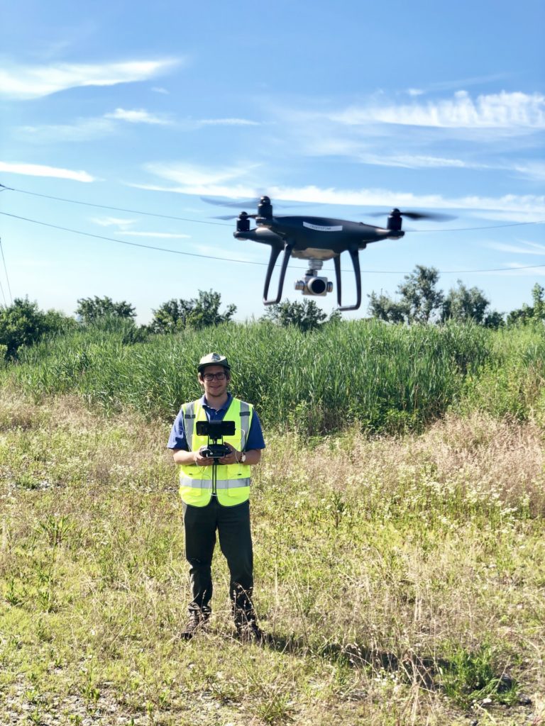
The NJSEA Municipal Drone Program offers drone flights at no charge to Meadowlands District municipalities through the Meadowlands Research and Restoration Institute (MRRI). The drone missions provide valuable services and assistance to help District towns best manage their resources and strategize resiliency efforts.

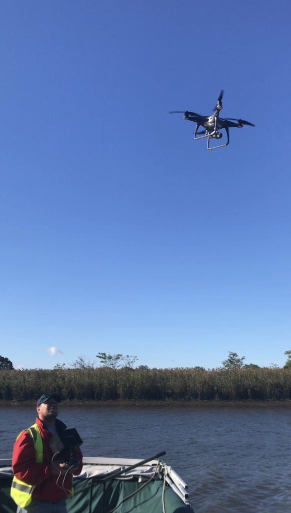
The Municipal Drone Program has various applications, including but not limited to ditch and tide gate inspections, coastal berm and seawall structural stability assessments, dirt pile volume calculations, site surveying, obtaining water samples from hard to reach places, and post hazardous event assessments, such as determining the extent of areas affected by spills, fires, and other emergencies.

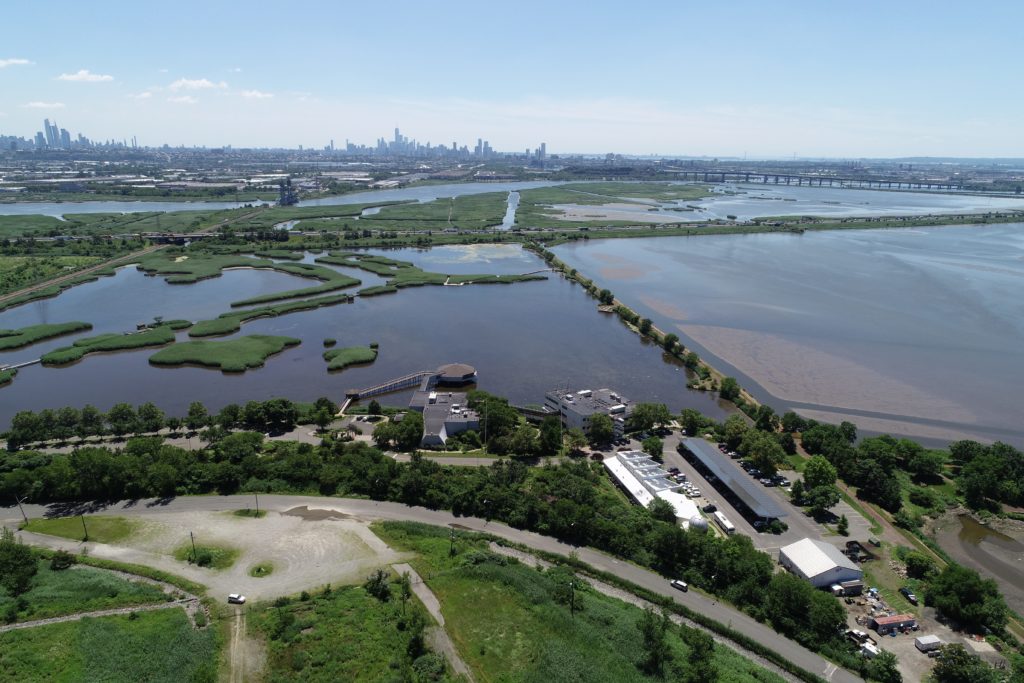
Gathering high-tech information from otherwise inaccessible areas to analyze the structural integrity of man-made and natural berms, and the ability of wetlands to absorb storm water, is especially important given the Meadowlands’ vulnerability to flooding from rain events, storm surges and, at times, regular high tides.

For more information about MRRI’s drone program visit meri.njmeadowlands.gov and click on Drone Mapping. For questions about the Municipal Drone Program and to request a drone flight email info@njsea.com

Primary Sidebar

About the NJSEA

Land Use Regulations

Resources

Parks & Nature Programs

Renewable Energy & Energy Efficiency

Research & Education

NEW JERSEY SPORTS & EXPOSITION AUTHORITY

CONTACT INFORMATION

Administration Offices: 201.460.1700
Email: info@njsea.com

MAP

QUICK LINKS

  • Land Use Applications
  • Directions
  • Nature Blog
  • Meadowlands Tours

Footer

QUICK CONTACT

One DeKorte Park Plaza
P.O. Box 640
Lyndhurst, NJ 07071
Admin Offices: 201.460.1700
Contact List
Notice of Claim Form

© 2023 New Jersey Sports and Exposition Authority

RELATED SITES

  • Meadowlands Liberty Convention & Visitors Bureau
  • Meadowlands Chamber
  • Meadowlands Conservation Trust
  • State of New Jersey
  • NJDCA
  • OPRA

RESOURCES

  • Monthly Meetings
  • Public Bids and Notices
  • Financial Information
  • Land Use Applications

Web Developers Studio